

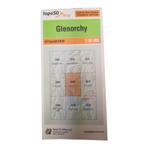
At a scale of 1:50,000, Topo50 maps show geographic features in detail. They are useful for a wide range of activities such as local navigation by vehicle or on foot, locality area planning and study of the environment. Used by a wide variety of groups, Topo50 is the official topographic map series used by New Zealand emergency services.
To produce our Topo50 maps of the New Zealand mainland we use:
- the New Zealand Geodetic Datum 2000 (NZGD2000) – the coordinates of longitude and latitude
- the New Zealand Transverse Mercator 2000 (NZTM2000) projection – this lets us show the curved surface of the Earth on a flat sheet of paper.
To produce our Topo50 maps of the Chatham Islands we use the Chatham Islands Transverse Mercator 2000 (CITM2000) projection.


Reviews
There are no reviews yet